
7,000 kilometers criss-crossing the Canadian provinces from Nova-Scotia to British Columbia.
Travelers don’t need to prepare for this trip, and they don’t need maps or navigation help: The Trans-Canada Highway leads them from coast to coast. You can't get lost!
From St. John's in Newfoundland to Victoria on Vancouver Island. Hotels, motels, and restaurants/fast food stores are galore along this route.
The Trans-Canada Highway is Canada's longest national road. My tip: Don’t drive it in July or August, as it can be very hot in central Canada. I traveled it several times, either in April-May or in September-early October.
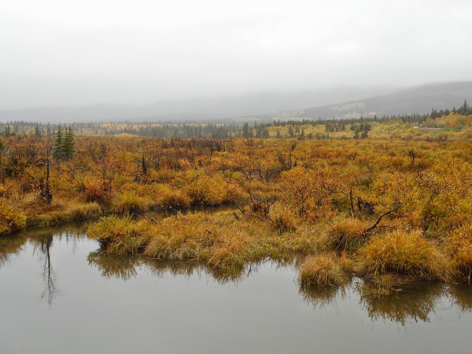
Here are some photo impressions:





Barely any Canadians have seen their home country in its full length and traveled through several time zones. Let alone visiting the Northern Territories. What a pity that they fly to Europe or the Caribbean, but haven’t seen their own country.
Bentley, my large dog, traveled with me, lying comfortably in our van, and I stopped every hour, not driving more than 3 to 400 kilometers (250 miles on average) per day.
Big Skies in Alberta




If you want to see more of the country, check out these side-routes:
Nova Scotia's South Shore, the route #132 along the St. Lawrence River, Quebec City and Montreal, the 1000 Islands where the river flows into the Lake Ontario, Winnipeg in Manitoba and Saskatoon in Sasketchawan, the Badlands around Drumheller and it’s Dinosaur Museum.
Visit Jasper and drive the Icefield Glacier Parkway along the border of Alberta and British Columbia, Kelowna, the city of wine and roses, and then Vancouver, one of the most beautiful Canadian cities, maybe with a short trip to Whistler. Don’t miss the western islands including Ucluelet and Tofino on the Pacific coast.


Mount Robson, BC


